
Watsonville ZIP Codes and Coverage
Research verified two Watsonville-associated ZIP codes, with a nearby postal place that must be kept separate. ZIP 95076 is broad and reaches far beyond the municipal boundary. County workforce material lists 95077 for Watsonville and South County, but the research did not verify whether it is PO-box-only or a unique ZIP. Freedom uses 95019 and its own post office.
| ZIP | Areas Covered | Post Office | Notes |
|---|---|---|---|
| 95076 | Watsonville plus unincorporated South County, including examples in Corralitos, Amesti or Green Valley, Casserly, and areas near La Selva or Pajaro Dunes | Watsonville, 225 Main Street | Much larger than city limits |
| 95077 | Watsonville and South County in official county material | Physical facility not verified | Do not label PO-box-only without USPS proof |
| 95019 | Freedom next to Watsonville | Freedom, 2004 Freedom Boulevard | Separate postal place |
95077 deserves a separate verification step. Santa Cruz County workforce material associates it with Watsonville and South County, but the research did not establish a dedicated post-office counter or a PO-box-only rule. Do not infer delivery type from a directory label. Ask USPS for the live city-and-state result, then retain the full address, ZIP+4 if returned, and physical situs before choosing a county, city, or archival custodian.
The USPS city and state ZIP lookup is the live postal check. Its results are dynamic, so a static official Watsonville result URL was not captured.
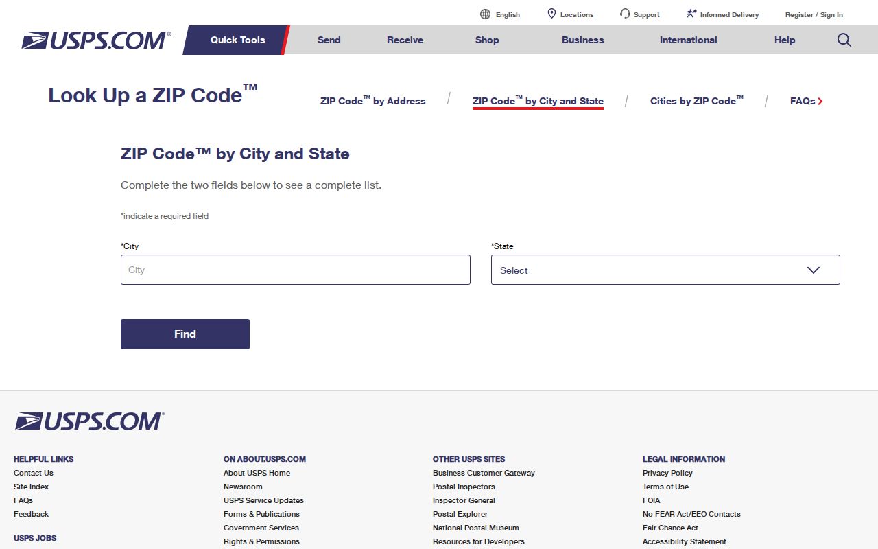
Use the postal result to validate the mailing line, then use the county map to decide which local record office covers the physical place.
95076 Reaches Beyond Watsonville
ZIP 95076 is the main geography trap. A Watsonville mailing line may point to a city address, but the same ZIP also reaches unincorporated South County communities. A postal city is not a legal city boundary. The county Assessor, Recorder, court, and city departments use event or situs jurisdiction, not just the line printed on an envelope.
For a ZIP code directory search, compare the address with County GISWeb's ZIPAREA and city-limit or sphere layers. If the parcel falls outside city limits, county planning or another local custodian may hold the permit or code file. The APN and physical street address should travel with any request.
Watsonville covers about 6.71 square miles, while 95076 reaches a much broader South County geography. That size mismatch explains why a Watsonville ZIP code directory cannot stand in for a city resident roll. A ZIP filter may gather addresses from the Pajaro Valley, but the responsible office still follows the parcel, event, or record type.
A non-government 95076 boundary reference can illustrate the broader postal footprint, but verify the mailing line with USPS and do not treat the map as a city-limit record.
That broad 95076 footprint is why a ZIP-wide resident list would blur city and county responsibility. It is more useful as a first filter before a street, parcel, or record-type search.
Freedom 95019 Is Separate
Freedom sits immediately near Watsonville but uses ZIP 95019 and the Freedom post office at 2004 Freedom Boulevard. Contiguity does not make it a Watsonville ZIP. A resident or parcel with a Freedom mailing line may still be part of a county record trail that crosses the Pajaro Valley, but the postal place should remain accurate.
When a name search starts with 95019, verify the street and city-limit layer before sending a request to Watsonville City Hall. When it starts with 95076, test whether the address lies inside Watsonville or in the unincorporated area. The postal directory should name the distinction instead of folding every South County address into one city.
Note: ZIP geography describes delivery routes; it does not decide where a birth occurred, where a deed is recorded, or which court holds a case.
ZIP, ZCTA, and Watsonville City Limits
A ZIP code is a USPS delivery geography. A ZCTA is a Census statistical approximation of ZIP boundaries. A city limit is a legal municipal line. They can overlap without matching. A 95076 mailing address can lie outside Watsonville, and a city address can carry a neighboring postal label. That mismatch matters whenever a postal directory points a reader toward the wrong office.
- ZIP versus ZIP+4
- The five-digit route names a broad delivery area; the added four digits narrow delivery within it.
- PO-box ZIP
- A ZIP used for post-office boxes or a special delivery arrangement, which should not be assumed for 95077 without verification.
- Unique ZIP
- A code associated with one institution or special address group, not necessarily a broad neighborhood.
- Carrier route
- A delivery path within a ZIP, not a city boundary or resident roll.
For a boundary check, put the address in USPS first, then select the parcel in GISWeb and compare ZIPAREA with city limits, sphere, annexation, and service layers. The map is useful context, not a survey.
Find Watsonville Residents by ZIP Code
A ZIP code directory search should narrow a question, not replace an address or name key. The Assessor property search does not have a ZIP filter. County GIS parcel data exposes ZIPAREA and supports query or statistics work, with a 2,000-record service limit noted in the research. California ABC license lookup can report by ZIP, but a license premise is not a residence. A qualified county voter product may use street sorting, but its purpose gate remains in place.
- Verify the five-digit ZIP and postal city through the USPS lookup.
- Place the street address in County GISWeb and compare ZIPAREA with city limits and service districts.
- Record the APN and situs before asking the Assessor, Recorder, Community Development, or court custodian for a matching record.
- Use a name-based portal, such as a court, FBN, license, or self-voter tool, only when its own fields and access rules fit.
- Once a ZIP narrows to a street, continue with the Watsonville street directory address chain.
This preserves the difference between a delivery area and a record index. It also prevents a broad 95076 search from implying that every matching address sits inside city government.
Which Watsonville Portals Read ZIPAREA
Few local people records accept ZIP as a direct search key. The useful ZIP-capable fields sit in maps and business-license tools. Use them to build a smaller geography, then shift to the record that actually answers the question.
| County GIS ZIPAREA | Map attribute and query field for parcel geography; compare with city-limit layers. |
|---|---|
| Assessor search | Searches APN or address; no ZIP filter was documented. |
| ABC license lookup | Can report by ZIP, city, county, census tract, or statewide set. |
| County voter file | Products can sort by street, but access is purpose restricted. |
| USPS lookup | Validates postal city and ZIP from an address; results are dynamic. |
The ABC data release counted 95 Watsonville retail-license entries for FY2024-25, including duplicate or secondary license types. That number is not a count of distinct businesses or residents. Keep the field's meaning with the result.
The Santa Cruz County FBN inquiry adds a name or business cross-check when a ZIP search produces a commercial clue.
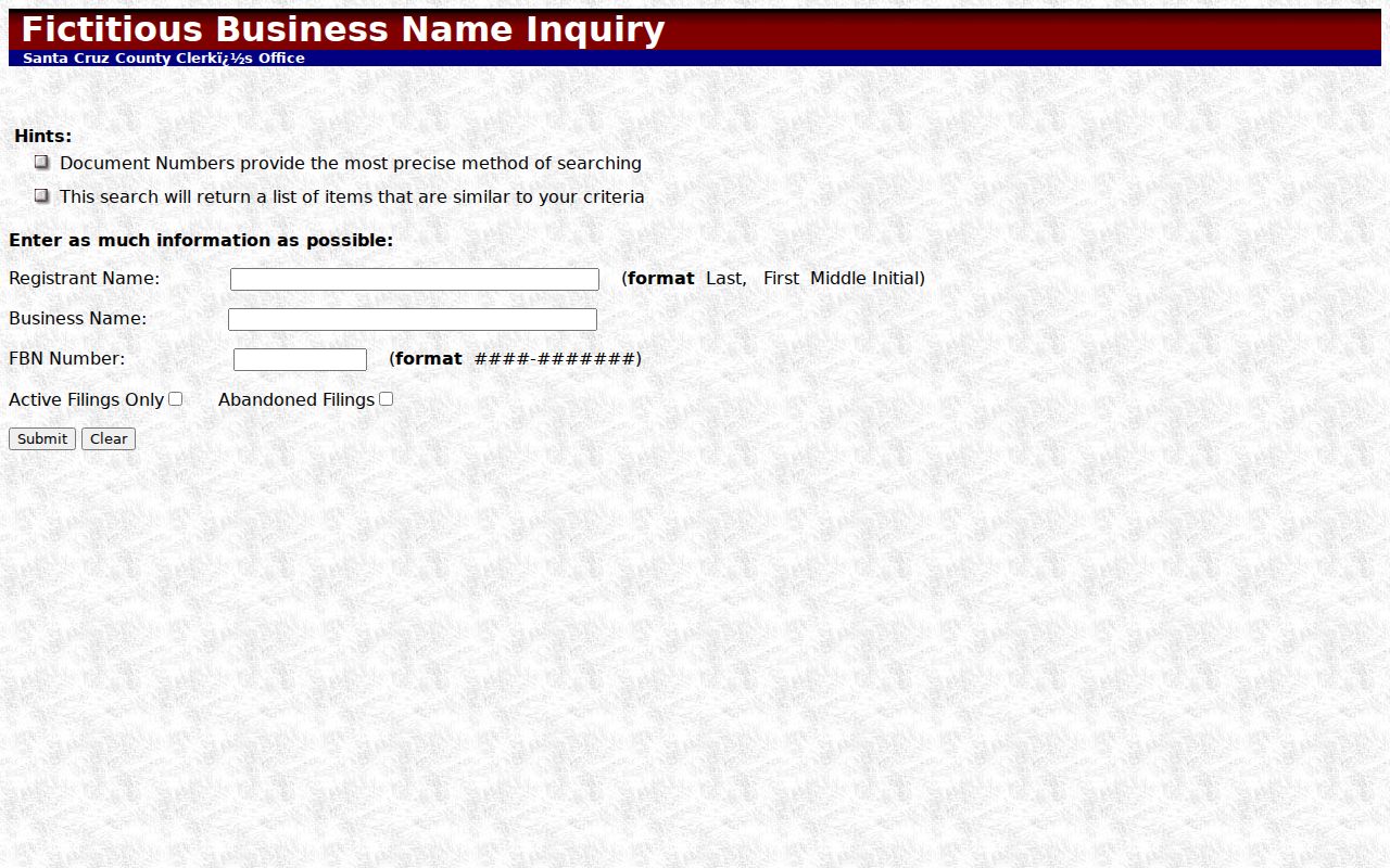
FBN records identify a registrant or business filing, not everyone who lives at the listed location.
Watsonville's Main Post Office
The Watsonville Post Office is listed at 225 Main Street, Watsonville, California 95076-9998, with 831-724-8243 and weekday retail hours from 8:30 a.m. to 4:30 p.m. in the research record. That facility confirms a postal route. It does not hold a resident directory or decide county records jurisdiction.
Use the post office detail when a letter, application, or old directory gives a mailing city but not a clear boundary. The postal answer is one layer. APN, situs, event place, court venue, and deed record office are the next layers.
APN Beats ZIP for Watsonville Parcels
For a parcel question, the APN is more stable than a ZIP. The county map connects APN to geometry, legal description, zoning, land use, districts, hazards, annexations, and ZIPAREA. The Recorder's legal description can bridge a postal or street change. Watsonville's Address Assignment form can add proposed and nearby numbers, permit references, and historical assessor evidence for an existing unit.
Owner and mailing data still require the Assessor. The online property result can be free while the person-specific owner conversation belongs at the counter or phone. A parcel can support a house-history or civic question, but ownership is not occupancy and a ZIP does not fill that gap.
The Santa Cruz County Assessor property search is the parcel starting point.
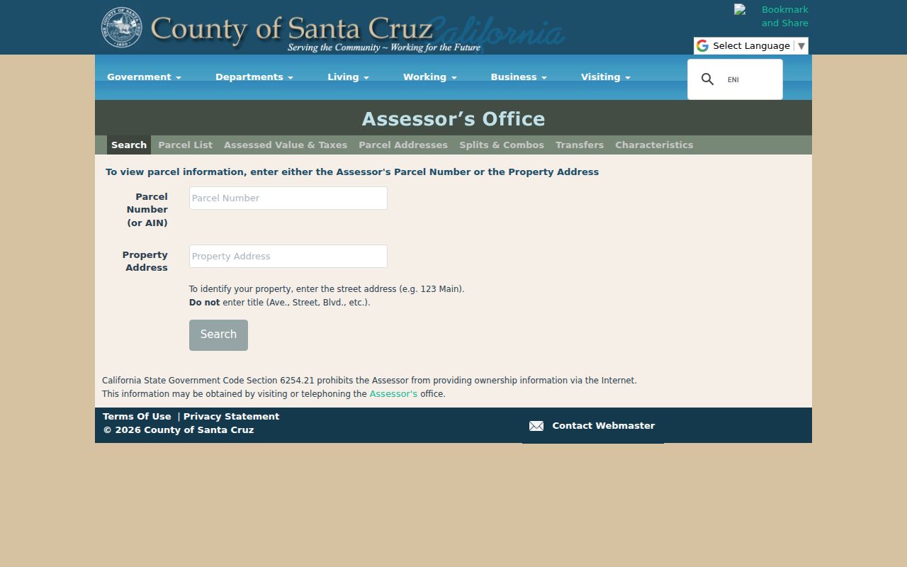
Use the APN from the result when a ZIP-based lead needs to become a precise county record request.
Limits of a Watsonville ZIP Directory
A ZIP code directory cannot show every person in a postal area. Renters, household members, utility customers, protected voters, and Safe at Home participants may not appear in public parcel or voter sources. A commercial or civic address may identify an organization rather than a household. The only safe conclusion from a ZIP hit is the one the source actually states.
Lawful personal use. Use Watsonville ZIP and address records for family history, estate work, reconnecting, and civic research. Do not use a ZIP result to stalk, harass, intimidate, or harm anyone.
When the ZIP leads outside city limits, contact the county or the custodian named by the record type. When the ZIP is not enough, use APN, court case number, directory year, or a full name. That is how a postal filter becomes a precise and lawful Watsonville resident lookup.