
Sources for Watsonville Previous Residents
A house history needs both ownership evidence and household evidence. The Recorder, Assessor, GIS, city files, directories, census, newspapers, Sanborn maps, and court or probate records cover different parts of the timeline. The table separates coverage so a gap in one source does not become a false conclusion about the previous residents of a home.
| Source | Years It Covers | Where Held | What It Shows |
|---|---|---|---|
| Online deed index | 1978-present | Santa Cruz County Recorder web index | Party, type, date, document reference |
| Deed images and indexes | 1850-present; pre-1974 handwritten; older images through 1996 office systems | Recorder counter, Digital Reel, microfilm | Legal chain and instrument image |
| Watsonville city directories | 1872/1873 through 1989, discontinuous | PVHA, WPL, SCPL, UCSC | Resident, address, spouse, occupation; some street sections |
| Federal census | Through 1950 under the 72-year rule | NARA, FamilySearch, library databases | Household and dwelling snapshot |
| Newspapers | 1864-2022 search range across six WPL titles | Watsonville Public Library | Sales, obituaries, notices, social events |
| Sanborn maps | 1886, 1888, 1892, 1902, 1908, 1920, later revisions | LOC, UCSC, local repositories | Building footprint, use, material, address context |
| Permits and police files | Exact online start not verified; report access is record-specific | Watsonville Community Development or Police Records | Project chronology, applicants, releasable incident details |
The Recorder's records and maps guide is the starting point for the current deed index, office access, maps, and copy route.
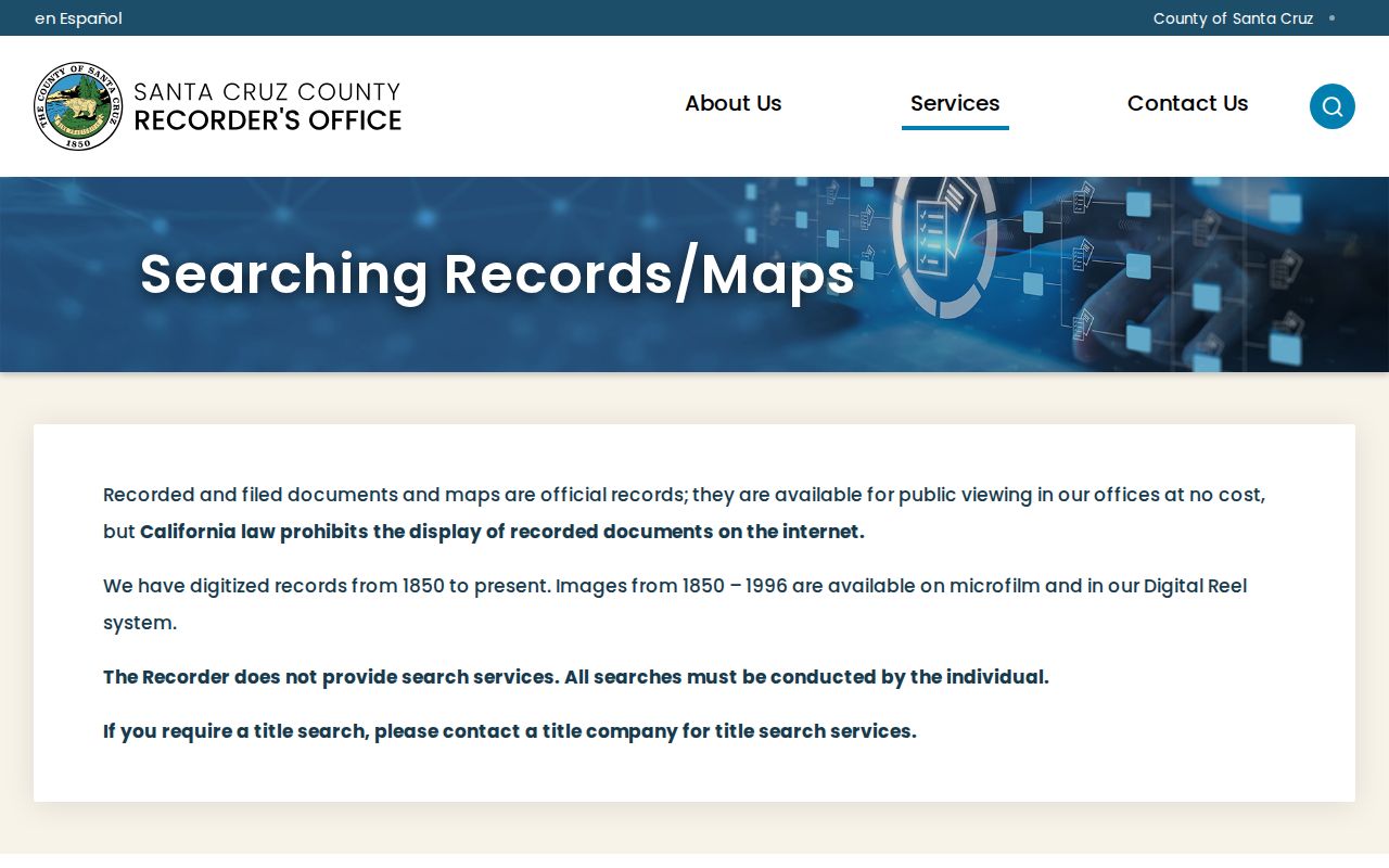
The source page makes the online boundary clear: a web index does not mean every historical image is open from home.
Begin With Today's Watsonville APN
Search the situs address in the Santa Cruz County Assessor or GIS viewer and write down the APN and legal description. The county property search accepts Parcel Number or AIN and Property Address. Address instructions use the number and street name and omit a suffix or title. GISWeb can select the parcel by address, APN, or map click and can generate Property or Zoning reports.
Call or visit the Assessor at 701 Ocean Street, Room 130, Santa Cruz, for the current owner and owner mailing destination by APN. The Real Property number is 831-454-2270. A mailing destination is not the same as the occupied situs, so treat it as the present ownership lead only.
The address key then moves to the Recorder, not directly to a previous resident. Record the parcel's lot, block, subdivision, and legal description before searching older instruments. Those details can survive a postal or street-number change.
Walk Seller to Buyer in Watsonville
A grantor is the party transferring an interest. A grantee is the receiving party. To trace previous residents, search the current owner as a grantee in the 1978-present Recorder index, open or order the acquisition instrument, and copy its grantor, document number, recording date, and legal description. Then search that grantor as an earlier grantee and repeat. This is a chain of title, the sequence of recorded transfers, not a list of every person who lived there.
- Search the current APN or legal description in Assessor and GIS tools.
- Use the current owner name at the Recorder and capture the grantee role, grantor, instrument type, date, and document number.
- Search the earlier grantor as a grantee, changing the date range and spelling when the index style requires it.
- At 1978, move to the office for 1974-77 material and pre-1974 handwritten volumes; use Digital Reel or microfilm for older images.
- Pair each ownership interval with a city-directory street section, census household, permit, newspaper, or probate record.
From 1974 to 1990, first words can be abbreviated. From 1990 to 1999, fewer first-word abbreviations appear, and from 2010 words are generally indexed as written. Search variants such as BK, CO, or TR and keep the exact indexed form.
- Grantor
- Party giving or transferring an interest.
- Grantee
- Party receiving the interest.
- Chain of title
- Linked ownership instruments for one parcel.
- Legal description
- Recorded land description used to test continuity across address changes.
Cross the 1978 Watsonville Index Boundary
The 1978 web cutoff is a search boundary, not the beginning of Santa Cruz County records. The Recorder preserves county instruments from 1850. The online index reaches 1978-present, while older indexes and images are reached in office systems, microfilm, or Digital Reel. Recorded-document inspection is free; the published copy schedule lists $1 per page and $3 for certification, with map copy charges separate.
The South County Recorder counter is at 500 Westridge Drive in Watsonville and serves on Mondays. The Santa Cruz counter at 701 Ocean Street is open weekdays. Mail requests need the document number, recording year, at least one party, and document type. Staff does not perform title research, so arrive with the APN and a focused date range.
California limits open internet display of recorded images. A paid account or office inspection may show more than the free index. The deed image still establishes an instrument, not occupancy, so the city directory and newspaper layers remain necessary.
Sanborn Buildings and Watsonville Occupants
Sanborn fire-insurance maps show the structure that occupied a parcel at a historical moment. Watsonville sheets include 1886, 1888, 1892, 1902, 1908, 1920, and later corrected sets in local and catalog holdings. A map can preserve a footprint, material, use, and address context when a building was rebuilt or a street view changed. It does not name every occupant.
Compare the map with the city directory's street section, the deed legal description, and the closest census. When a building disappears from a later map, check permits, newspapers, and earthquake or flood collections before assuming the record trail ended. A structure can change while the parcel chain remains continuous.
The SCPL and MAH guide Every Structure Tells a Story is the local house-history roadmap. Library of Congress sheets and UCSC maps are access points, but the particular sheet and address index should be inspected before quoting it as proof.
Directory Years Pair With Watsonville Census
The city directory shelf gives annual or near-annual clues in some periods, while the federal census offers a fixed household snapshot through 1950. Begin with the exact directory line, then check 1930, 1940, or 1950 for household relationship, age, birthplace, occupation, and dwelling context. A directory year can reflect an earlier canvass, so keep the year labels separate.
- Copy the name, spouse, address, marks, and occupation from the directory entry.
- Check the next available directory and the street or reverse section.
- Compare the nearest census household and dwelling sequence.
- Search WPL's newspaper archive for a move, sale, obituary, school item, or community notice.
The full volume list and publisher history are on the Watsonville city directory collections page. This backward-trail page uses those volumes for one address interval instead of restating the whole shelf.
Obituaries Close a Watsonville Trail
When a directory name disappears, an obituary or probate case can explain the next step. WPL reference staff helps with obituary requests at 831-768-3404, and its archive searches the Pajaro Valley Times, Santa Cruz and Pajaro Times, Pajaronian, Evening Pajaronian, Watsonville Morning Sun, and Register-Pajaronian across a 1864-2022 range. OCR errors mean that approximate-date browsing matters.
Probate petitions can identify a decedent, petitioner, and possible heirs. Cemetery and interment sources add dates and family links. Naturalization, military, oral-history, school, church, and agricultural-worker collections can help when a conventional directory underrepresents a family or a seasonal household.
For previous residents in Watsonville, the obituary layer can explain why a name leaves one volume and appears in another place. Keep the notice date separate from the directory year and the deed recording date.
For a city or county file, request an existing record under the California Public Records Act with a date range, address, APN, or case identifier. A request cannot require the custodian to create a new resident list.
The California public-records availability rule explains the inspection and copy setting for an existing record.
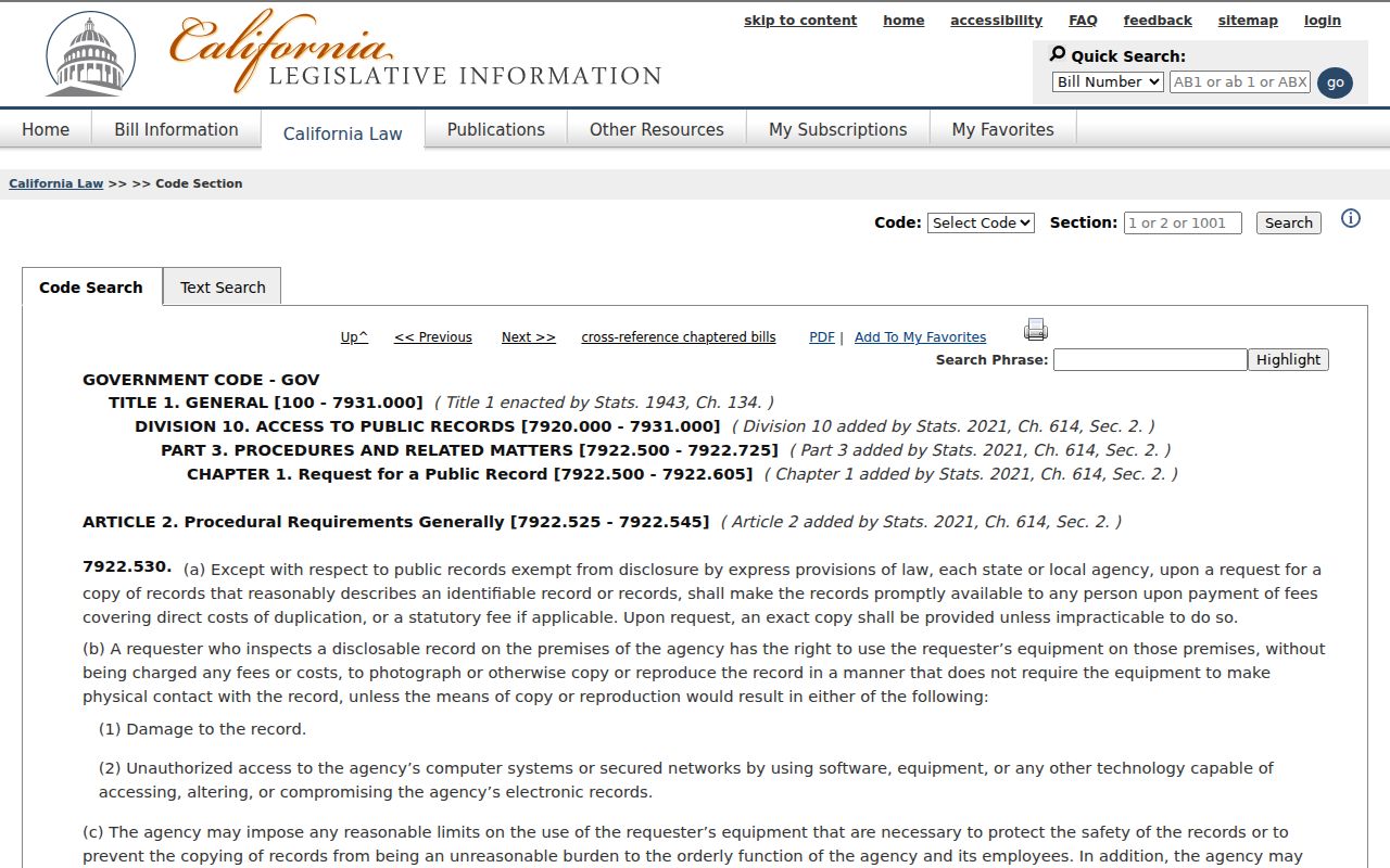
A focused request can ask for a record that exists, while protected information and a request to create a new list remain outside the route.
The Watsonville Police Records Bureau information is a separate municipal path for releasable reports, with case number, date, time, and incident location needed for a focused request.
Police records can add an incident or address chronology when releasable, but victim, juvenile, medical, and investigative limits still apply.
Watsonville Address Changes Need Legal Descriptions
No authoritative citywide Watsonville street-renumbering date was located. That gap is a reason to bridge records, not to guess. Use the deed legal description, APN, subdivision or lot and block, Sanborn sheet index, directory street section, and city address-assignment file together. The city form asks for proposed and nearby or across-street numbers, which can reveal how an old number relates to a later one.
Postal geography adds another trap. ZIP 95076 extends beyond Watsonville city limits, while Freedom uses 95019. A mailing line should not decide which office holds the permit or deed. Compare GIS ZIPAREA with the city-limit and annexation layers before sending a request.
Note: Assessment year, deed-recording date, directory year, census date, and newspaper date answer different questions; preserve every label.
House History Has a Lawful Boundary
Previous residents can be reconstructed in part, especially for recorded owners and listed historical householders. They cannot be reconstructed as a complete list of living people. Renters, household members, utility customers, delivery recipients, and Safe at Home participants may remain outside the public chain. Ownership is not occupancy.
Lawful personal use. Watsonville house-history records are appropriate for family history, estate work, preservation, and civic research. Do not use a name or address trail to stalk, harass, intimidate, or harm anyone.
California's CPRA, voter-file rules, vital-record statutes, court restrictions, and Safe at Home protections all apply to different sources. When the record stops, keep the stopping point in the notes. A careful previous-residents search is measured by a traceable source trail, not by how many names it can collect.