
Looking Up Watsonville Neighbors
A block lookup has several official layers, each with a different answer. GIS shows geography. The Assessor supplies a phone or counter route for owners by APN. The Recorder traces earlier instruments. A qualified voter product can be sorted by street for an approved purpose. A historic reverse directory may name a householder. None is a complete list of current neighbors.
| Source | What It Shows About a Block | Access |
|---|---|---|
| County GISWeb | Adjacent parcel geometry, situs, APN, ZIPAREA, districts, hazards | Free map; owner names withheld online |
| County Assessor | Owner and mailing destination when an APN is supplied | Phone or counter; ownership is not occupancy |
| Recorder | Earlier ownership instruments and legal descriptions | Name index; not a block browse |
| Qualified voter file | Voters sorted by street in a permitted product | Purpose restricted; no republication |
| Historic street directory | Listed householder at a number in selected editions | Volume-specific, often onsite |
| Council district GIS | Civic district and contact context | Geographic context, not household identity |
Start with the Santa Cruz County GISWeb viewer and keep the selected address, APN, and neighboring parcel numbers together. That makes the next owner or record request precise.
Click Adjacent Watsonville Parcels
The documented neighbor method is visual rather than a verified radius tool. Search the starting address in GISWeb, zoom to the selected polygon, and click each adjoining polygon. Record each APN and site address. Generate a Property Report or Zoning Report when the layer offers one. The result is a block map that can be handed to the Assessor, not a social graph.
- Choose Address in the GIS search mode and enter the number and street.
- Select the parcel and copy APN, site address, legal or property description, and relevant layers.
- Click each touching polygon and keep a separate line for each APN.
- Use the Assessor phone or counter route with those APNs when owner information is needed.
- Use the Recorder, permits, or historical street section only for the parcel or address interval that matters.
GIS adjacency is geographic evidence. It does not show who shares a household, who visits, or who has a social connection to the selected address.
Turn Adjacent Parcels into APNs
APN is the useful handoff key. County GISWeb can expose parcel geometry, site address, zoning, land use, city limit or sphere, council or supervisor district, election precinct, schools, utilities, ZIPAREA, tax-rate area, and hazard or annexation layers. Property boundaries in urban Watsonville are generally close to the mapped location, but the data are not a survey.
Use the parcel report to decide which records office to call. The Assessor can discuss owner and mailing information by APN. The Recorder can search a party name or document, but not a whole block. City Community Development can receive a permit or address-assignment request by APN and street. The full named-street chain belongs to the Watsonville street directory by address workflow.
Note: The situs address is the physical parcel location, while the mailing address is where tax correspondence goes; neither one proves an occupant.
Assessor Owners Are Not Watsonville Occupants
California's online-posting limits explain why a Watsonville neighbor lookup cannot simply browse owner names. Use the Assessor Property Search with an address or AIN, then call or visit with the APN. The Real Property phone is 831-454-2270 at 701 Ocean Street, Room 130. The answer may include an owner and mailing destination, but ownership is not residence and mailing is not occupancy.
That distinction is especially important on a block with more than one unit, a trust, an entity, a mailing agent, or a different tax destination. Keep the record role exact. If the question concerns a former owner, trace the Recorder's grantor and grantee chain. If it concerns a listed historical household, use the directory year.
Map rule. A polygon tells where land touches land. It does not establish who lives there, who visits, or which private relationship exists between neighbors.
Watsonville Voter Data Has Legal Gates
My Voter Status is a self-authenticated tool. It is not a public name directory and it cannot be used to browse a block. A county confidential voter file is different. Elections Code sections 2188, 2194, and 18109, plus 2 CCR section 19003, restrict the file to election, scholarly, journalistic, political, or governmental purposes. A qualified requester files in person with photo ID, explains the organization and purpose, defines the geography, and pays in advance.
Products include a walking list consolidated by precinct and alphabetical by street, a printed index, and CD or special lists. Prices and completion timing are published by County Elections, and the file can include residence and mailing addresses, party, voluntary phone or email, and participation in up to four elections. Ballot choices are not included. A permitted product cannot be republished as a public neighbors list.
The Santa Cruz County voter-file request page shows the application boundary.
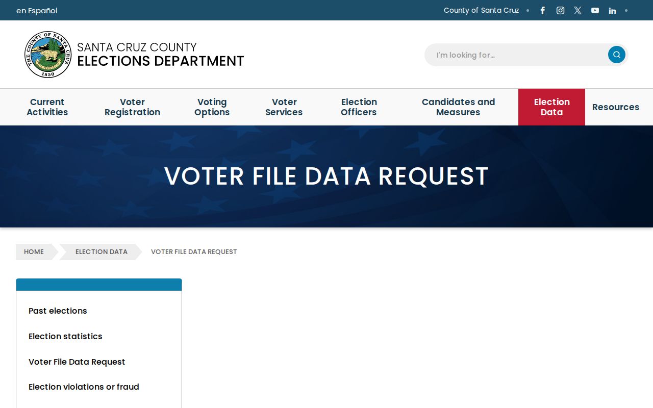
A legal purpose is part of the access route, not a box to skip when a block question feels simple.
Historic Watsonville Neighbors in Directories
A historical Watsonville neighbor search can use a street or reverse section in selected city directory volumes. Western Directory Company's householder guides from 1916-17 through 1923-24 are strong address-first candidates. Later Polk and county editions may include street sections, but the specific book needs inspection. A householder line is a dated listing, not proof of everyone who occupied the parcel.
Compare the listed number with a Sanborn sheet, deed legal description, census dwelling sequence, newspaper notice, or city address-assignment file. Watsonville's 1872/1873 catalog discrepancy, publisher changes, missing years, and possible number changes make a one-book conclusion weak. The directory may identify a former neighbor even when modern online owner data are withheld.
The PVHA archive, Watsonville Public Library, SCPL, UCSC, and the State Library supply different runs. Use exact volume, page, and year notes when a historical block map matters.
Watsonville Safe at Home Protects Addresses
California Safe at Home gives eligible survivors and other qualifying participants a substitute mailing address and mail forwarding. It is not witness protection and does not erase every older public record. Property legal descriptions may still expose a location when a participant owns property in their own name. A neighbor lookup must leave room for a protected person who does not appear where a casual search expects.
The California Safe at Home information explains the substitute-address operation.
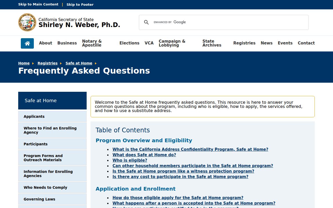
Absence from a public address source can be a protection feature, not evidence that a person is absent from the neighborhood.
No authoritative public Watsonville umbrella neighborhood or HOA member directory was located. Do not infer private rosters from a block-watch, congregation, or association's existence. Contact a named organization only for its public civic purpose and do not seek a private member list.
Official and Commercial Neighbor Tools
Official sources are not perfect, but their custodians and fields are visible. Commercial neighbor tools can combine public and commercial data, be stale, merge two people, or charge for a result. The comparison is about evidence quality, not a recommendation of a particular service.
| Source Type | Strength | Limit |
|---|---|---|
| County GIS | Clear parcel geography and APN | No online owner browse; map is not a survey |
| Assessor counter | Owner and mailing lead by APN | Ownership does not prove occupancy |
| Historical directory | Dated householder and street clue | Discontinuous, volume-specific, not current |
| Commercial neighbor tool | May combine many data types | Source, date, cost, and accuracy can be unclear |
For a block question, keep the official APN and source date even when a secondary result suggests a name. The official record is the place to confirm or correct the clue.
Watsonville DROP and Registry Context
California's data-broker deletion program, DROP, became effective in 2026. Civil Code sections 1798.105 and 1798.120 provide deletion and sale or share opt-out rights, while the Delete Act adds a single verified request for registered brokers. Brokers begin processing under the 2026 schedule and check at least every 45 days. Public records held by a government custodian remain subject to their own access law.
The CPPA data-broker advisory explains the public business-information side of the program.
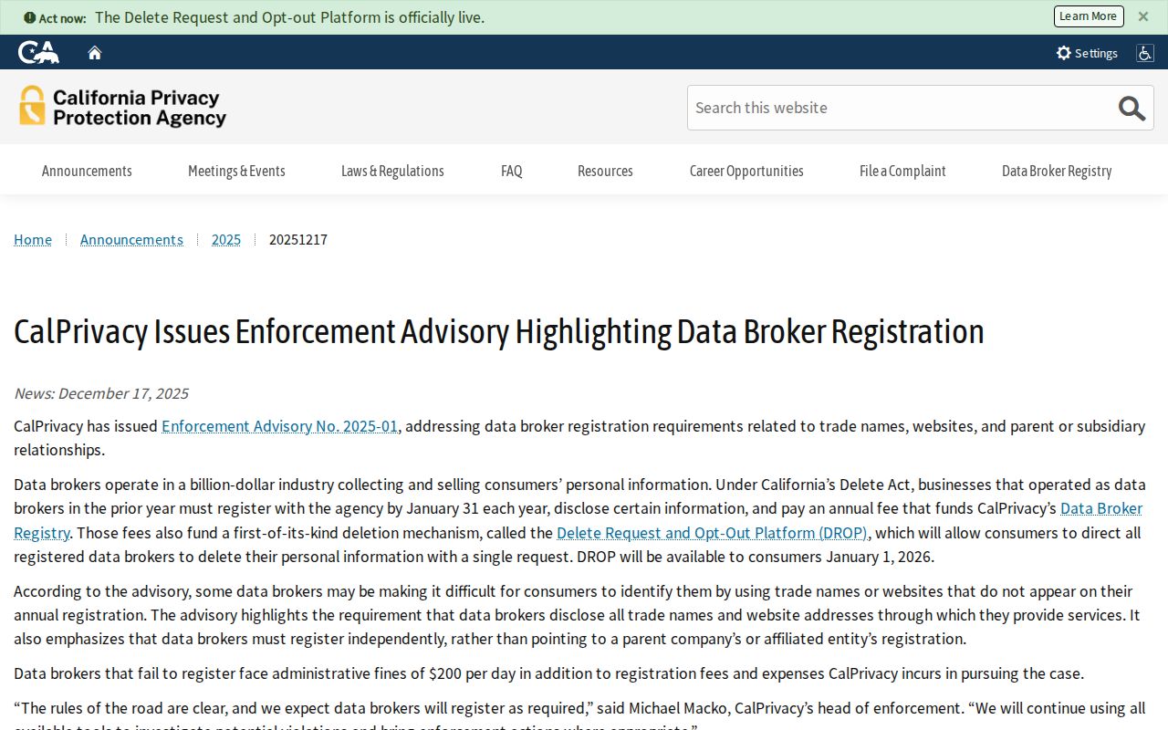
The advisory adds a transparency point for data-broker research without changing the rules for government-held parcel or voter records.
The CPPA DROP regulations page is the state rule source.
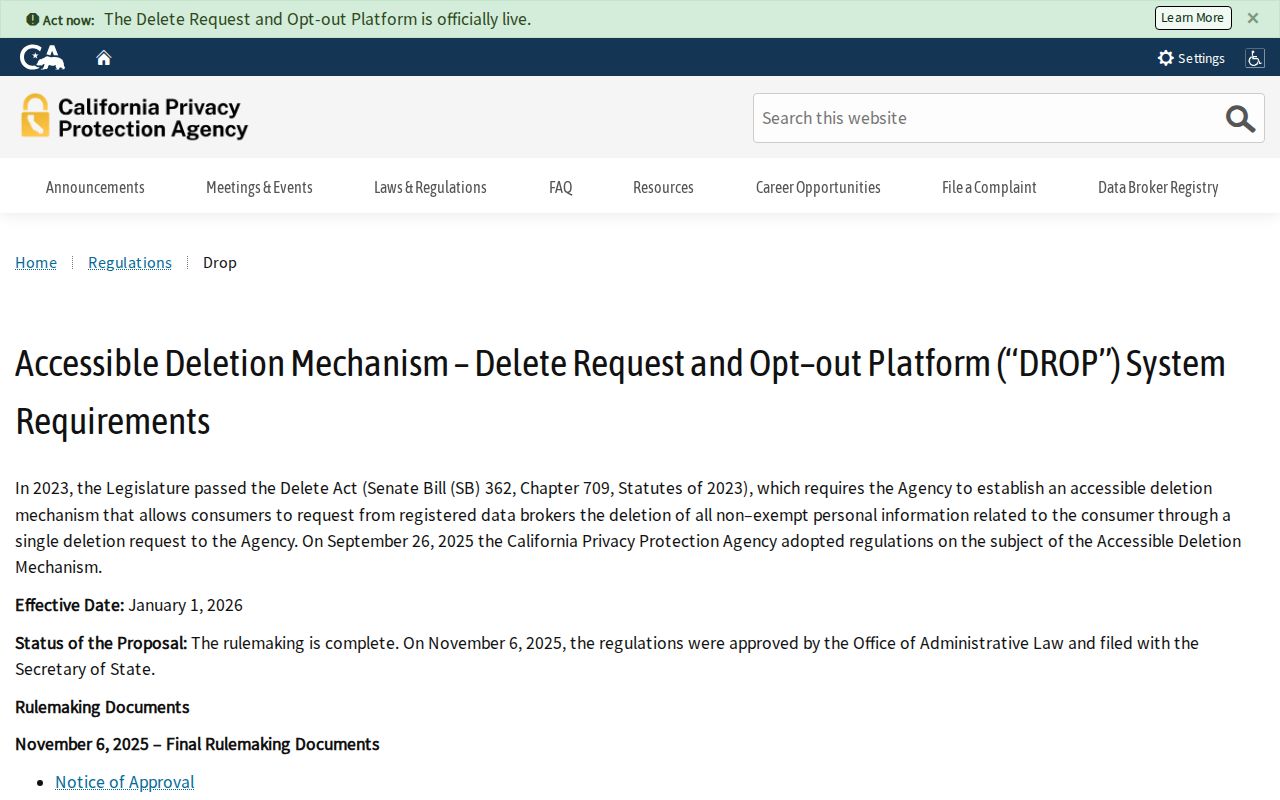
Privacy tools can reduce broker circulation, but they do not turn a public GIS parcel into a private household list or erase a lawful custodian record.
Official Registry Results Need Care
California's Megan's Law site is a statutory registry with its own disclosure category and anti-harassment warning. It is not a general neighbor directory. A county jail locator and the CDCR incarcerated-person locator cover different custody systems. A no-result can reflect release, transfer, age or rule exclusions, or spelling.
The California Megan's Law search is the official registry route.
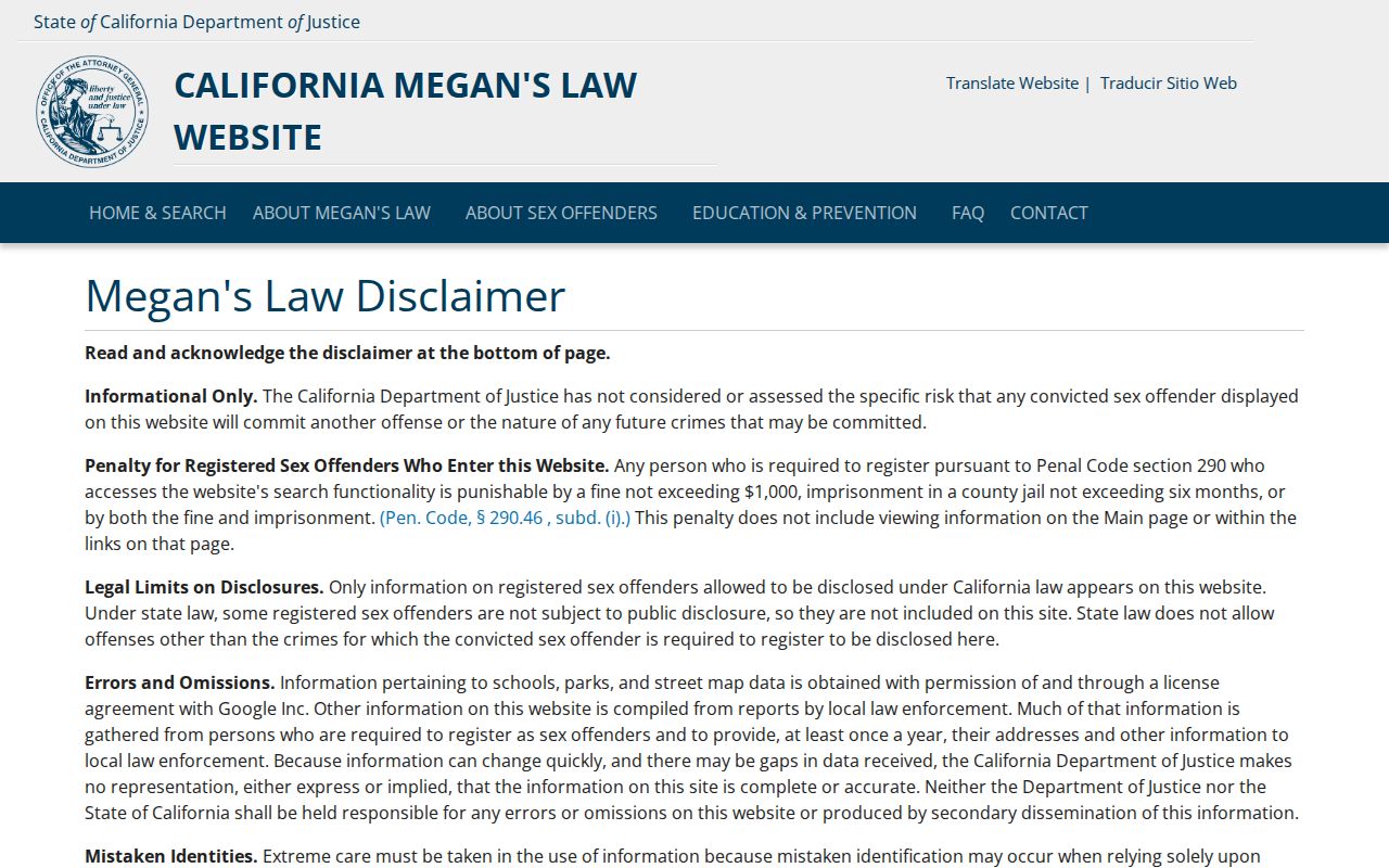
A registry result is not permission to contact, confront, publish, or harass a listed person. Use it only within its legal purpose and the source's stated limits.
The California CDCR incarcerated-person locator is a separate state-custody channel and does not replace the Santa Cruz County jail locator.
Privacy Limits on Watsonville Neighbors
A block map can show land touching land. It cannot show every neighbor, tenant, household member, visitor, utility customer, or protected address. DMV data are protected, voter data are purpose restricted, and private HOA or congregation rosters were not located as public Watsonville sources. The absence of a name is not proof of absence.
Lawful personal use. Use Watsonville neighbor records for civic context, family history, preservation, and personal safety. Do not use them to stalk, harass, intimidate, or harm anyone.
When the goal is the whole named street, use the street-by-address chain. When the goal is one person, use the resident lookup's two-source method. A neighbor search is strongest when it stays narrow: selected parcel, adjacent APNs, named custodian, exact record type, and a clear stopping point.