
Walking a Watsonville Street by Address
A street directory search should move from the physical address to the records key, then from the key to a person or event. Santa Cruz County does not publish a street-wide online owner browse, and no single tool lists every occupant. The safest way to read the result is as a sequence of linked clues, each with its own custodian and meaning.
Keep the exact street spelling, number, APN, legal description, source date, and party role in one note. That record trail makes it easier to handle a same-name match or a changed address without treating a guess as a fact.
- Run the street number and name through the Santa Cruz County Assessor Property Search. Record the APN and situs address.
- Open County GISWeb or the city GIS page, select the parcel, and compare nearby APNs, ZIPAREA, city limits, zoning, and service layers.
- Call or visit the Assessor with the APN when an owner or mailing destination is needed. The web view can suppress owner-name fields.
- Search the Recorder's 1978-present index by party, document, or date. Use office systems, Digital Reel, or microfilm for older material.
- Ask Community Development for permits, code files, or an address-assignment file, then use a historical street section to test who was listed at the number.
The result is a street-by-street working file, not a public roster of a block. Use the chain for a house history, family research, property question, or civic record check, and stop when a source is protected.
Search Watsonville Parcels in Assessor Tools
The Santa Cruz County Assessor Property Search accepts Parcel Number or AIN and Property Address. For the address route, the county instructions use the number and street name, with the suffix or title omitted. The search returns parcel candidates. An APN is the durable bridge between the situs address, GIS map, Recorder instrument, and city permit request.
Ownership is the local asymmetry. The online property tool can expose address and parcel facts, but California online-posting limits suppress some owner information. The Assessor at 701 Ocean Street, Room 130, can be reached at 831-454-2270, and the Real Property line is the proper fallback. A Monday Watsonville Recorder counter does not turn the Assessor web screen into a public owner-name directory.
The Santa Cruz County Assessor services page identifies the office behind the parcel search.
The image points to the county source, while the APN is the detail to carry into the next search.
| Parcel Number/AIN | Exact parcel key and alternative to an address search. |
|---|---|
| Property Address | Number plus street name; omit a suffix when the form directs. |
| Online owner name | Limited by California internet-posting rules; ask the Assessor by APN. |
| Situs versus mailing | Physical parcel location differs from tax correspondence destination. |
Note: An owner or mailing lead is not proof of occupancy, and a street directory cannot turn parcel data into a resident census.
Watsonville GIS Maps Put APNs on Streets
County GISWeb is the stronger map source for a Watsonville street directory because the city's interactive GIS is described as under development. In the county viewer, accept the disclaimer, choose Address, type the location, and click the magnifier. APN search and map-click are alternatives. Selecting a polygon opens attributes and links to Property Report or Zoning Report.
The layer list can show APN, site address, property description, base zoning, land use, urban or rural service area, city limit and sphere, council or supervisor district, precinct, schools, water, sanitation, fire and refuse districts, ZIPAREA, tax-rate area, and hazard or annexation layers. Urban Watsonville boundaries are generally within about five feet, but the map is not a survey and rural variance can be much larger.
The Watsonville GIS and mapping page supplies the city-side contact and status.
Use the city page for planning context, then let the county parcel viewer carry the adjacent-parcel work.
The Santa Cruz County GIS home page is the county's current map entry point.
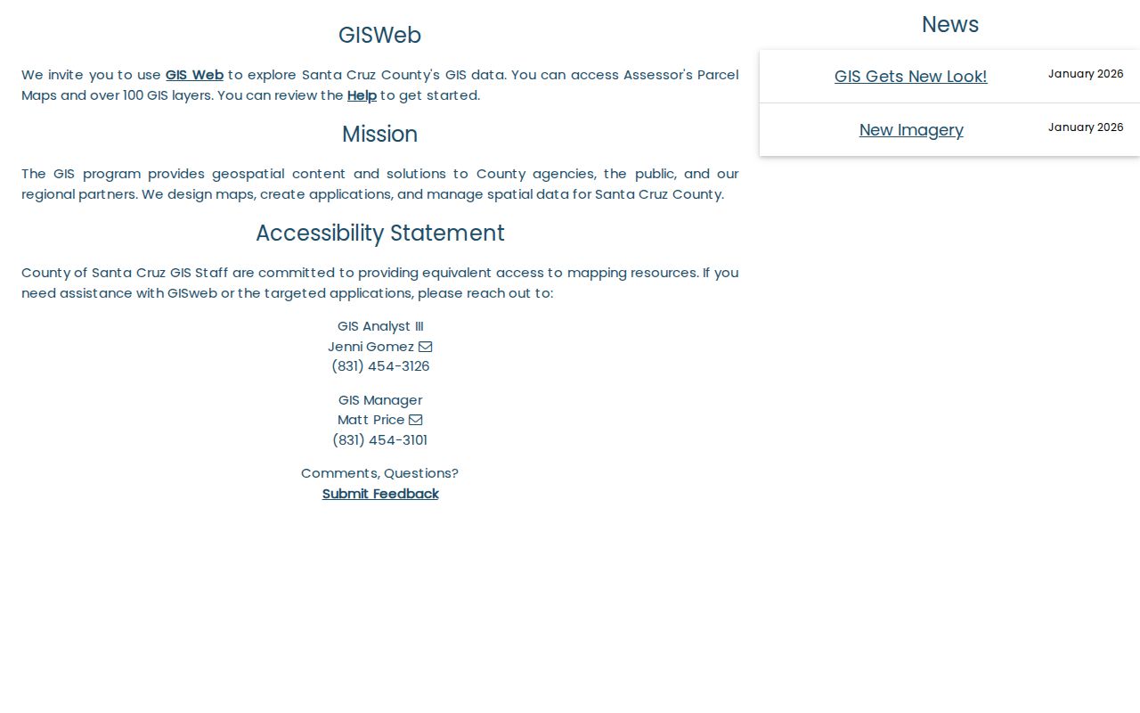
Clicking the adjoining polygon is a geographic step, not evidence that the people at two parcels know one another.
Watsonville Street Directory Record Sets
Several address-keyed sources can be read together, but their columns do not mean the same thing. The county GIS supplies a mapped unit. The Recorder supplies parties to instruments. Community Development supplies project and address history. A historical directory may name a householder. A qualified voter product has a legal purpose gate and cannot be republished as a neighbor list.
| Record Set | Keeper | What It Shows | Access |
|---|---|---|---|
| Parcel and APN | County Assessor/GIS | Situs, geometry, land use, districts, ZIPAREA | Free web map and search |
| Owner information | County Assessor | Owner and mailing destination by APN | Phone or counter route |
| Deeds and liens | County Recorder | Grantor, grantee, type, date, legal description | 1978-present online; older office access |
| Permit and code file | Watsonville Community Development | Applicant, APN/address, work chronology | Counter or focused request |
| Street-sorted voter product | County Elections | Qualified voter data by street | Approved purpose only |
| Historical householder section | PVHA, WPL, SCPL, UCSC | Named occupant at a number in selected years | Volume-specific, often onsite |
One address can therefore produce an APN, a deed party, a permit applicant, and a historical householder without producing every person who lives there. Read the source label before repeating the name. For one-person corroboration, the Watsonville resident lookup follows the party and date controls more closely.
Deed Names Along a Watsonville Address
The Recorder index is party-name keyed, not reliably street keyed. Resolve the street to an APN and legal description first. Search the current or known party as a grantee, record the grantor, document number, date, and description, then work backward. When the index reaches 1978, move to the office for 1974-77 material and pre-1974 handwritten volumes. Digitized images from 1850-1996 are available through office microfilm or Digital Reel rather than unrestricted web display.
The 1974-1990 index can abbreviate first words. From 1990 to 1999 fewer first-word abbreviations were used, and from 2010 words were generally indexed as written. Search broad spelling when older entries use BK, CO, or TR. The record's legal description and APN are stronger continuity checks than a street name that may have changed.
The Santa Cruz County Recorder contact page lists the South County counter and the full Santa Cruz office.
Watsonville's South County counter is at 500 Westridge Drive and serves on Mondays; recorded-document inspection is free, with copy and certification charges when a document is ordered.
- Parcel
- A mapped unit of land identified by an APN.
- Situs address
- The physical location assigned to the parcel, unlike a mailing destination.
- Plat or map
- A recorded drawing that can preserve lot, block, and parcel continuity.
- Criss-cross directory
- A reverse directory section that starts with a street number and names a listed householder.
Watsonville Permits Connect Address History
Community Development at 250 Main Street handles planning, building, code enforcement, zoning clearance, and address assignment. The public permit page supplies applications and inspection routes, but an exact online starting year for permit records was not verified. Ask by street address and APN, with a date range, and request the existing file or parcel report rather than a new list.
The Address Assignment Request is unusually useful when a street number has changed. It asks for applicant contact information, project type, reason, permit numbers, zoning, APNs, proposed addresses, nearby and across-street numbers, and a plot or floor plan. An existing residential unit may require meter information, utility bills, and a County Assessor historical record showing dwelling use from original construction.
The Watsonville permits page is the city source for current permit and inspection routes.
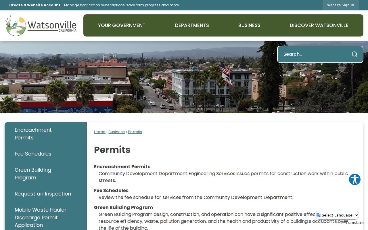
A permit applicant is a useful address clue, but it is not automatically an owner or occupant. Compare it with the APN, deed role, and directory year.
The city's Address Assignment Request is the specific form for proposed and nearby address evidence.
Criss-Cross Watsonville Directories
Historical reverse sections translate a number into a listed householder. The strongest local candidates are the Western Directory Company's Complete Householder's Guide of Santa Cruz and Watsonville, found in 1916-17, 1918-19, 1920, 1922, and 1923-24 holdings, and county resident or classified directories that include street sections. Inspect the chosen volume before promising that a particular year has the same reverse arrangement.
The PVHA Watsonville run includes selected years from 1872 or 1873 through 1985, with WPL vault material reported into 1989. Polk editions from 1925-26 onward can change the lead city or omit Watsonville in some Santa Cruz-branded years. A missing surname can mean a move, an omitted canvass, annexation, renumbering, or a missing volume. It does not establish a death.
The full collection list and reading method belong to the Watsonville city directory collections. On a street search, use that shelf for one address interval, then return to the parcel and deed chain for the current layer.
Watsonville Street Abbreviations Changed
Older Recorder indexing can make an exact street or surname search look empty. The research inspection found a shift from heavily abbreviated first words in 1974-1990, to fewer abbreviations in 1990-1999, and words indexed as written from 2010. This is a small local quirk with a large effect on a street directory trail.
Try the name with and without a middle initial, expand likely words, and search a wide date window. Preserve the exact spelling that produced the hit. Then connect the party to the legal description or APN, because a similar name in the same county is not enough.
Note: A blank online result can reflect date coverage, spelling, abbreviation, or a record held in an office system rather than the absence of a deed.
Watsonville ZIP Lines Cross Street Limits
Street work can fail when a mailing ZIP is treated as the city boundary. ZIP 95076 covers Watsonville and a broad part of unincorporated South County. ZIP 95077 is associated with Watsonville and South County in county material, but its physical delivery classification was not verified. Freedom uses 95019. Use GIS ZIPAREA and city-limit layers together before sending a street request to Watsonville City Hall.
Legal descriptions, APNs, and the actual situs address survive postal or street changes better than the mailing city. The city form's request for adjacent and across-street numbers is a useful bridge when an old number cannot be found. A city street directory must therefore be checked against county coverage, not just a postal label.
The city GIS page and the county map viewer are the right pair for the jurisdiction question. The street itself is the start, not the final key.
Limits of a Watsonville Street Directory
No public local source reliably lists every resident at a street address. Renters, household members, utility customers, delivery recipients, and many protected participants remain outside the ordinary parcel and deed trail. DMV address data are protected under the federal Driver's Privacy Protection Act. A reverse directory lists only the people a volume chose to print.
Lawful use. Watsonville address records support personal, family-history, estate, and civic research. Do not use a street record to stalk, harass, intimidate, or harm anyone.
California voter products add another boundary. A street-sorted walking list is restricted to qualified purposes, requires the county application process, and cannot be republished as a neighbors list. Safe at Home can replace a protected participant's address with a substitute mailing address. When a source stops, respect the custodian's limit and use a different lawful record rather than trying to reconstruct private household data.